
Happy Valley Neighbor Public Records
People on a Happy Valley block are best understood through separate record systems, each with a narrow purpose. CMap offers a map-first view of parcel proximity and local context. Assessment & Taxation and the Clerk Recording Division are the proper channels for a lawful owner or title question. The City’s HOA registration program is a connector to an association, not a public roster. Voter data has statutory limits and no published public by-street browsing interface. Treat every result as the kind of fact it actually represents.
| Source | What It Shows About a Block | Access |
|---|---|---|
| CMap | Parcel proximity, streets, aerial and map context, districts, and services. | Free public map viewer; no owner names online. |
| Assessment and Recorder | Owner-of-record or title-interest research for one parcel. | Staff, counter, or public research route. |
| City HOA registration program | City coordination with registered associations. | City contact or registration form, not a public directory. |
| Recorded association documents | Planned-community or association legal context. | Recorder research area. |
| Permitted voter data request | Only the statutorily allowed fields and request filters. | County form, fee, and privacy rules. |
| City or county permits | Site-specific project or case context when jurisdiction is correct. | HVWorks or ACA, with scope confirmation. |
None of these sources supplies a complete household list. Parcel location, a property interest, and a current resident are different things. That distinction is especially important in a city where most residences are within private developments with their own association structures.
Map Happy Valley Neighbor Parcels
CMap is the appropriate starting point for the immediate block. Enter an address, city, intersection, tax lot, or parcel number using the search selector. Then zoom out, pan, use the aerial-photo toggle if useful, and map-browse around the target. The County documents those mechanics. It does not document a dedicated buffer, radius, or adjacent-parcel button, so a visible map relationship is the supported method.
- Find the target address or parcel and note the map context, tax lot, and property features shown.
- Zoom or pan to the visibly touching or nearby parcels and record only parcel, account, or legal-description context from the map.
- Use address, tax-lot, or parcel search for the next property instead of assuming a map label identifies an owner.
- If a lawful property-interest question remains, take one parcel’s identifiers to Assessment & Taxation and then to the Recorder as needed.
CMap can return building details, values, jurisdiction, voting districts, services, hazards, surveys, and tax maps. It is not survey-quality boundary proof, and County policy keeps property owner names off the public map. For a full named-street record chain, use the Happy Valley by street directory rather than treating a block map as a streetwide title search.
Note: A mapped parcel is a location clue, not proof of a legal boundary, an owner’s residence, or a complete household.
Happy Valley Owner Records Lawfully
Once CMap identifies the parcel, the County’s authorized route is separate. Assessment & Taxation accepts a focused inquiry by phone, email, or counter for owner-of-record or tax information; AscendWeb Property Search remains the online address or account starting point rather than an owner-name screen. A request should state the parcel or account number, situs address, desired tax year, and whether the need is for owner of record, mailing address of record, assessed-value history, or a tax statement. A mailing address may be a post office box, agent, trustee, or out-of-area address. It should not be treated as proof that a person lives on the block.
For title context, the Recording Division’s public research area preserves real-property instruments on microfilm or computer image. The relevant document may identify parties, a legal description, return recipient, tax-statement address, and other recording fields. A recording shows an interest in property, not the current people living there. The Clerk’s published ownership trail reaches to the early 1850s, but the public source did not establish a complete online owner-name index.
The Clackamas County Recording Division describes its public viewing and research route for recorded property material.
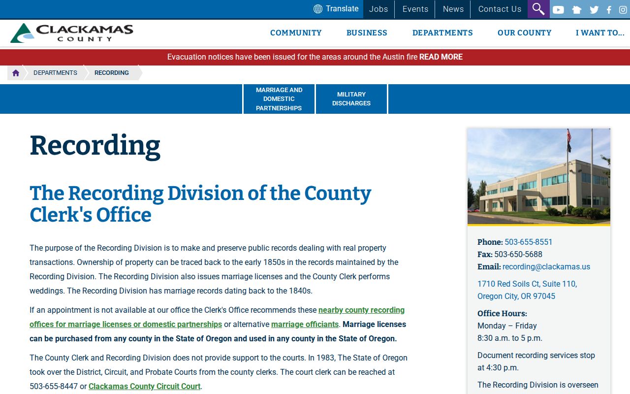
The counter route is the necessary next step when a mapped parcel requires a verified recorded-interest review. It does not turn a map into a public neighbor directory.
Happy Valley HOA Contacts, Not Rosters
Happy Valley’s HOA layer is important neighborhood context. The City says most residences fall within private development governed by independent autonomous HOAs, often with mandatory membership for the corresponding property owners. It asks associations to register so City communication is easier. The registration intake can collect an HOA’s status and management details, but it is not a public membership list, a public officer directory, or a way to identify residents.
| Contact route | What it can help with | What it does not provide |
|---|---|---|
| City HOA registration program | Association-status context and a City-mediated connection when appropriate. | A public membership, resident, or officer roster. |
| Happy Valley City Hall, 503-783-3800 | Support when an association is unknown or inactive. | Private contact information for people on the block. |
| Clerk Recording Division | Recorded planned-community and association documents tied to a property. | A current household list or confirmed association boundaries. |
The City’s HOA communication and registration page is the direct source for this connector role and its limits.
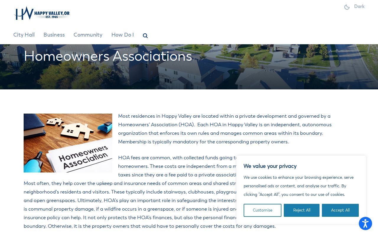
The City form supports association communication, not a block-level people search. When a current contact is needed, ask the City to facilitate connection or examine the property’s recorded association documents.
Happy Valley Neighbor Trail Context
Planning documents name HOA-associated places such as Bella Casa, Deerfield Woods, Happy Valley Village, Jackson Hills, Kensington Bluff, Lincoln Heights, Mountain Gate, Powerline, Rolling Acres, Shadow Ridge, Sunrise Heights, Taralon, and The Stairs. A 2025 wildfire grant also named Happy Valley Heights and Taralon in a project context. These names are useful for orienting a search to open space or a planned-community reference.
They do not certify association boundaries, identify current officers, or establish who lives nearby. The City’s trail inventory is an infrastructure resource, not a resident directory. For a property-specific association question, use the address, legal description, and Recorder route instead of drawing conclusions from a trail name.
The 2025 wildfire grant context is similarly limited. It identifies Taralon and Happy Valley Heights in a mitigation project and refers to an original 14-HOA priority group, but it does not publish a member list or establish who belongs to any association. A project reference can help distinguish a neighborhood name from an address search result. It cannot substitute for a City-facilitated contact or a recorded association document.
Voter Data Limits for Happy Valley Neighbors
Oregon My Vote is a person-specific tool for someone to check their own registration, ballot status, officials, and county contact using name and date of birth. It is not a public tool for browsing a street. CMap may show a current precinct or district at an address, but it does not show nearby voters’ names. The County has no documented public by-street voter interface.
For a legally permitted structured request, Clackamas Elections documents filters such as district, precinct, political party, age, ZIP code, and selected vote-history dates. Less-than-statewide orders require the County form, are delivered electronically, and carry a published staff, processing, and media fee structure. Protected people and nonpublic fields are excluded. Ballot choices are never disclosed, and the law bars commercial use except for its narrow statutory political exception.
Absence from a public file does not establish that someone moved. Oregon’s Address Confidentiality Program and voter address exemptions protect eligible records, and other nonpublic fields remain unavailable.
Oregon’s voter maintenance can also change a record’s status without proving a move. The state says a registration can become inactive after undeliverable mail, a long period without a vote or update, incarceration, or evidence that information may have changed. That is administrative context, not a conclusion about a particular person near the address.
Official Sources and Commercial Neighbor Tools
Official records and commercial neighbor tools answer different questions. The first are tied to a custodian, a documented access route, and stated privacy limits. The second are a general category of compiled data products that can be incomplete, dated, or unable to distinguish an owner, a former occupant, and a current resident. Start with the official source that matches the question, then record the limitation with the result.
| Official county or City route | Commercial compiled-data category | Practical difference |
|---|---|---|
| CMap, Assessment, Recorder, Elections, or City HOA contact | General address and people-data products | The official route identifies its custodian, scope, and privacy boundary. |
| Parcel, title, legal document, association, or permitted civic-data question | Broad matching or inferred address associations | A match may be stale or may not identify a present resident. |
Use a property record for a property-interest question and a City connector for an association question. Neither route should be stretched into speculation about private people.
Privacy Boundaries for Happy Valley Neighbors
Several kinds of information stay private or protected. CMap has no public owner names. A property owner or tax mailing address does not prove current occupancy. Private association membership, utility customers, delivery data, and protected voter addresses are not open block-search resources. Oregon’s Address Confidentiality Program and voter address exemptions are safeguards, not gaps to work around.
Local block research is appropriate for understanding parcel geography, recorded interests, community infrastructure, and respectful civic or personal questions. It should never become targeted surveillance. When the record does not support a conclusion, leave the conclusion open and consult the custodian about the correct lawful channel.
Lawful use. Use block records for personal, respectful research and community context. Do not use them to watch, harass, intimidate, or harm another person.