
Walk a Happy Valley Street Directory
A street name alone is not a list of residents. In Happy Valley, begin with the site address and use it to establish a parcel, account, and legal-description trail. The county makes property context available online, while the owner-of-record step uses staff or the Recorder counter. That difference matters. An owner, tax mailing recipient, permit contact, and listed household are separate categories. The sequence below keeps those categories separate while moving from a modern address toward records that can be checked.
- Enter the full address in AscendWeb. Save the tax account and property context returned by the address search.
- Open the same location in CMap. Confirm the street segment, parcel position, and local jurisdiction before treating a postal address as a City address.
- Ask Assessment & Taxation for the owner of record when that is the needed property-interest fact. Give the account, situs address, tax year, and precise information requested.
- Take the owner name and legal description to the Recording Division. Read the acquisition record, then work backward from seller to earlier purchase.
- For lawful civic data, use the County election request route, not a public street browser. For older address listings, confirm that a regional reverse directory actually covers the address.
Keep a simple log of the address spelling, account, parcel or tax lot, subdivision, lot and block, document number, and date. A name changes more easily than those property identifiers.
Happy Valley Street Directory at AscendWeb
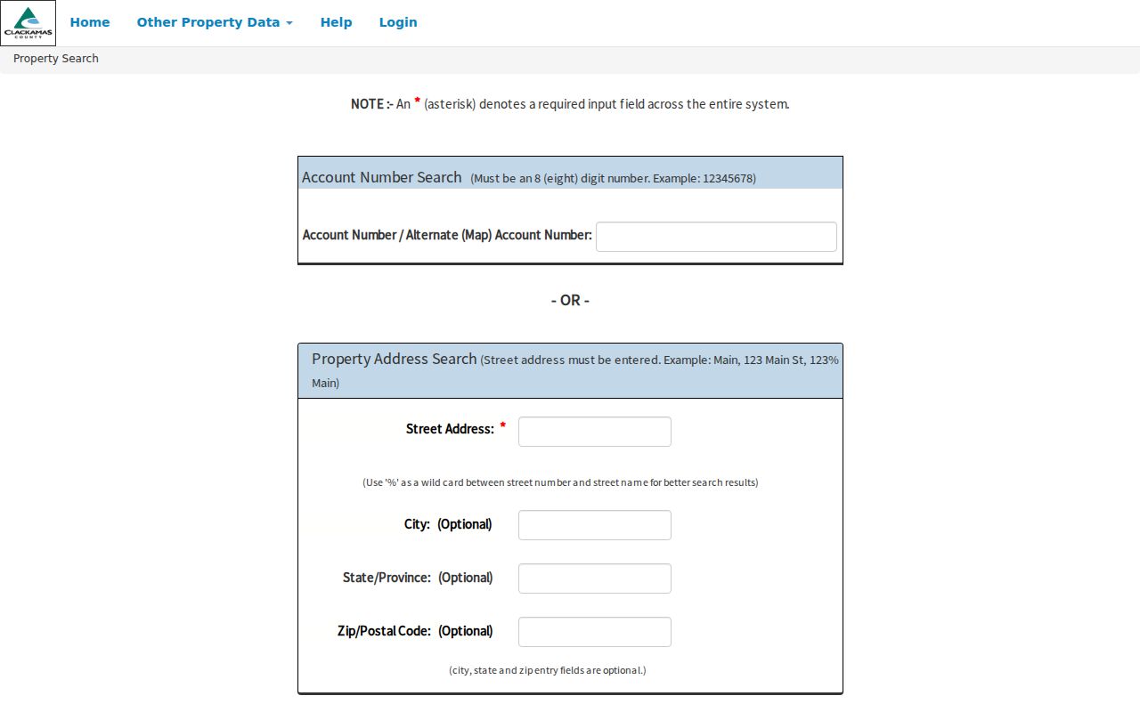
AscendWeb Property Search is the first official address resolver for a Happy Valley street directory search. It accepts either an eight-digit account or alternate map account number, or a required Street Address. City, State/Province, and Zip/Postal Code are optional. The County gives 123% Main as a partial-address example, with the percent sign placed between the number and street name. The public screen has no owner-name tab. It supplies property-tax context, not a public roll of occupants.
| AscendWeb field | Input | Required | Happy Valley use |
|---|---|---|---|
| Account Number / Alternate Map Account | Eight-digit number | No visible asterisk | Use when a tax account is already known. |
| Street Address | Street name, full address, or partial address | Yes | Primary start for an address-based search. |
| City | Text | No | Helps narrow a repeated street name. |
| State/Province | Text | No | Optional location detail. |
| Zip/Postal Code | Text | No | Narrows an address, not a ZIP-wide directory. |
The official AscendWeb search screen shows the required address route and optional location fields.
Use its result as the start of the record chain, then move to the map or the appropriate county office for the next fact.
Map a Happy Valley Street by Parcel
CMap is the map-first companion to AscendWeb. Its selector can search by address, city, intersection, tax lot, or parcel number. The viewer also provides zoom controls, an aerial-photo toggle, and map browsing. A returned property can show building facts, land and assessed values, City or urban-growth-boundary context, zoning, voting districts, services, hazards, surveys, and tax maps. This makes CMap useful for checking which parcel and jurisdiction belong to a Happy Valley street address.
CMap does not publish owner names online. Its boundary display is also not survey-quality proof. Map-browse the street to understand parcel context, then preserve the tax lot or parcel reference for the staff and Recorder steps. Do not treat adjacent map shapes as a legal survey or as a list of households.
Note: A Happy Valley postal label can differ from the City boundary, so check parcel jurisdiction before using City or County permit channels.
Happy Valley Street Records by Address
Several address-keyed systems can answer different parts of a street question. None is interchangeable with another. Assessment records establish tax-account context; the GIS places the parcel; recording documents show a recorded property interest; and City or County development systems date a project. The coverage below makes the limits visible before a street-by-street search begins.
| Address record | Custodian | What it can show | Access and limit |
|---|---|---|---|
| Tax account and assessment | Assessment & Taxation | Account and property context; owner of record through staff inquiry | AscendWeb is address or account based; owner names are not posted online. |
| Parcel and GIS map | County GIS / Surveyor | Mapped parcel, values, districts, services, and tax maps | CMap is free, but is not survey quality and has no online owner names. |
| Deed, lien, easement, or plat | Clerk Recording Division | Named parties, legal description, and recorded interest | Public research area, microfilm, and computer images support the title trail. |
| Engineering permit or development record | Happy Valley or Clackamas County | Project, site address, type, status, or case details | Use HVWorks or ACA only after confirming jurisdiction. |
| Voter-file request | Clackamas Elections | Only lawfully available voter-file fields | No public My Vote street browser; protected data and participants are excluded. |
| Regional reverse directory | Multnomah County Library | Historic street, block, address, and abbreviated listing | Use only after library staff or the volume confirms coverage. |
For a recorded owner, contact Clackamas Assessment & Taxation at propertytaxinfo@clackamas.us or 503-655-8671. Give the situs address, account when available, tax year, and the exact property information requested. A tax mailing address may belong to an agent, trustee, or post-office box. It does not establish who is currently living at the property.
Happy Valley Street Legal Descriptions
Street numbers can change, and a modern subdivision name may not appear in older material. The durable bridge is the legal description used in recording. After CMap and Assessment & Taxation identify the parcel context, collect the subdivision name, lot, block, map number, and instrument reference when they apply. The Recording Division accepts a metes-and-bounds description, a subdivision with lot and block, or a book, page, or instrument reference that incorporates the description. A tax account alone is not a legal description.
- Parcel
- A mapped unit of land used to organize property and tax context. It helps find a record, but it is not itself the recording legal description.
- Situs address
- The physical street location used for GIS, tax, and permit context. It can differ from a mailing address.
- Plat
- A recorded subdivision map that can identify lots, blocks, streets, and related development references.
- Criss-cross directory
- A reverse section arranged by street, block, then address. The documented Portland method applies only where the volume covers the target area.
Happy Valley Street Permit Checks
Happy Valley HVWorks and Civic Access supports searches for a known permit number or site address. The City’s published permit-list example includes Permit Number, Project, Address, Permit Type, Status, and State. That can help date construction, grading, right-of-way work, or another project on a street. The guide does not verify public access to every underlying contact, plan, or attachment, so the list should not be used to make assumptions about a person.
For county jurisdiction, the Clackamas ACA portal offers Building, Engineering, Planning, Soils, and Code Enforcement application searches. The documented Planning choices include file number, site address, or parcel number, with record type and date filters. Confirm jurisdiction first because a Happy Valley postal address is not always a City-limits address.
Happy Valley Street Deed Chain
The Clackamas County Clerk Recording Division is the public-record channel for the title history behind a Happy Valley street. Its ownership trail reaches to the early 1850s, and its research and copying area preserves documents on microfilm or computer image. Start with the current owner of record when lawfully obtained, the legal description, an approximate acquisition date, or an instrument number. Inspect the acquisition deed or related recorded instrument, record the grantor and grantee roles, the recording date, document number, consideration when stated, and legal description. Then search the seller as a prior grantee and repeat.
Names in this chain can be trusts or entities. A legal description, not a surname, is the dependable tie between a parcel and an older instrument. The Recorder’s published standards also make clear that a return recipient and tax-statement address can appear on an instrument without proving residence.
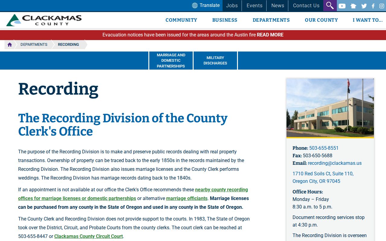
The Recording Division research counter is the documented route for public viewing and copying of property instruments.
For very early material, ask the counter about grantor and grantee indexes, microfilm, and digitized-image availability for the target date and legal description.
Happy Valley Street and ZIP Limits
Address research needs a postal check before it needs a name. The City states 97086 as its ZIP Code, but official City material also uses 97015 for the Happy Valley Library. The USPS notice establishing 97086 says it drew from portions of 97015, 97009, and 97236 in 2006. A ZIP therefore does not prove City limits. Confirm the delivery ZIP for the particular address, then use CMap to check the parcel jurisdiction.
Happy Valley Street Voter Boundaries
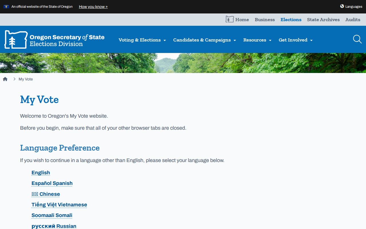
Oregon My Vote is a personal self-service tool for checking one’s own registration, ballot status, officials, and County contact. It uses a name-and-date-of-birth gateway. It is not an open street directory. Oregon law allows certain voter-file fields in a permitted file, while excluding protected information, Address Confidentiality Program participants, and other nonpublic data. Ballot choices are never disclosed.
Clackamas Elections describes a formal voter-list order process with filters such as district, precinct, political party, age, ZIP code, and voting-history dates. The request has required forms, fees, privacy conditions, and a noncommercial-use rule. A missing person at an address can reflect many things, including nonregistration, an exemption, or a different mailing address. It is not evidence of a move.
The official My Vote landing page is shown below as the personal-registration route rather than a street-by-street browser.
Use the County’s documented order route only for a lawful permitted request, and keep protected-address limits intact.
Historic Happy Valley Street Listings
Historic reverse listings can add an address-era clue, but the coverage check comes first. Multnomah County Library’s Portland directory guide documents city directories from 1863 and a reverse Street and Avenue Guide from 1930 forward. That guide is arranged by street, block, then address, often on pink or green paper, and can lead to the alphabetical name entry. It is a regional method, not proof that a particular Happy Valley address was printed in a Portland volume. The historical collection details belong with the Happy Valley city directories record trail.
Happy Valley incorporated in 1965 after a longer rural history under names including Deardorff Valley, Happy Hollow, Christilla Valley, and East Mount Scott. Search those terms, a legal description, township-range-section, or nearby landmark when a modern street label fails. No Happy Valley-wide street-renumbering year was verified, so a missing match should not be explained by an invented renumbering story.
Happy Valley Street Directory Limits
A street record can document parcel context, a recorded ownership interest, a project, or a historically listed person. It cannot establish every household member. It cannot open utility-customer, delivery, or DMV address records as a public directory. It also cannot override protected voter records or the Address Confidentiality Program. A property owner, business agent, tax mailing recipient, or permit contact is not automatically a current resident.
Lawful use. Happy Valley address records support personal, lawful research and property history. Do not use them to stalk, harass, intimidate, or harm any person.
When an address record needs clarification, return to the office that keeps it. That protects both the record trail and the people whose information may be incomplete or protected.