
Happy Valley ZIP Code Directory Coverage
Happy Valley’s City overview states 97086 as the City ZIP. That is the primary City-stated postal designation, not a municipal boundary. Official City materials also use a Happy Valley, Oregon 97015 address for the library, so an address should not be dismissed just because it lacks 97086. The records question comes after the address check: USPS controls delivery labels, CMap and the City boundary establish jurisdiction, and County offices control parcel, recording, and election records.
| ZIP | Areas Covered | Post Office | Notes |
|---|---|---|---|
| 97086 | Happy Valley delivery-place designation created from parts of earlier delivery areas | Happy Valley postal label | City-stated primary ZIP; postal area does not equal City limits. |
| 97015 | Clackamas-area label used by City sources, including the municipal library | Physical post-office assignment not verified in the research | Can appear on a Happy Valley address; confirm the exact street address. |
| 97009 | Boring predecessor delivery portion involved in the 2006 change | Not identified as a current Happy Valley office | Historical transition detail, not a claim of current City coverage. |
| 97236 | Portland predecessor delivery portion involved in the 2006 change | Not identified as a current Happy Valley office | Historical transition detail; postal city and City limits differ. |
Some 2020 City survey respondents reported other mailing ZIPs. Those responses are community-survey context, not a postal map and not evidence that the other labels serve the City. Treat the City’s 97086 statement and the documented 97015 City addresses as the local facts, then validate each individual address.
How Happy Valley ZIP 97086 Began
USPS established 97086 as a Happy Valley delivery-place designation on July 1, 2006. The Postal Bulletin notice says the new designation took portions of 97015, 97009, and 97236 delivery areas. This explains why pre-2006 material, older mailing records, and even current City resources may not share one label. It does not make 97009 or 97236 current City-serving ZIPs.
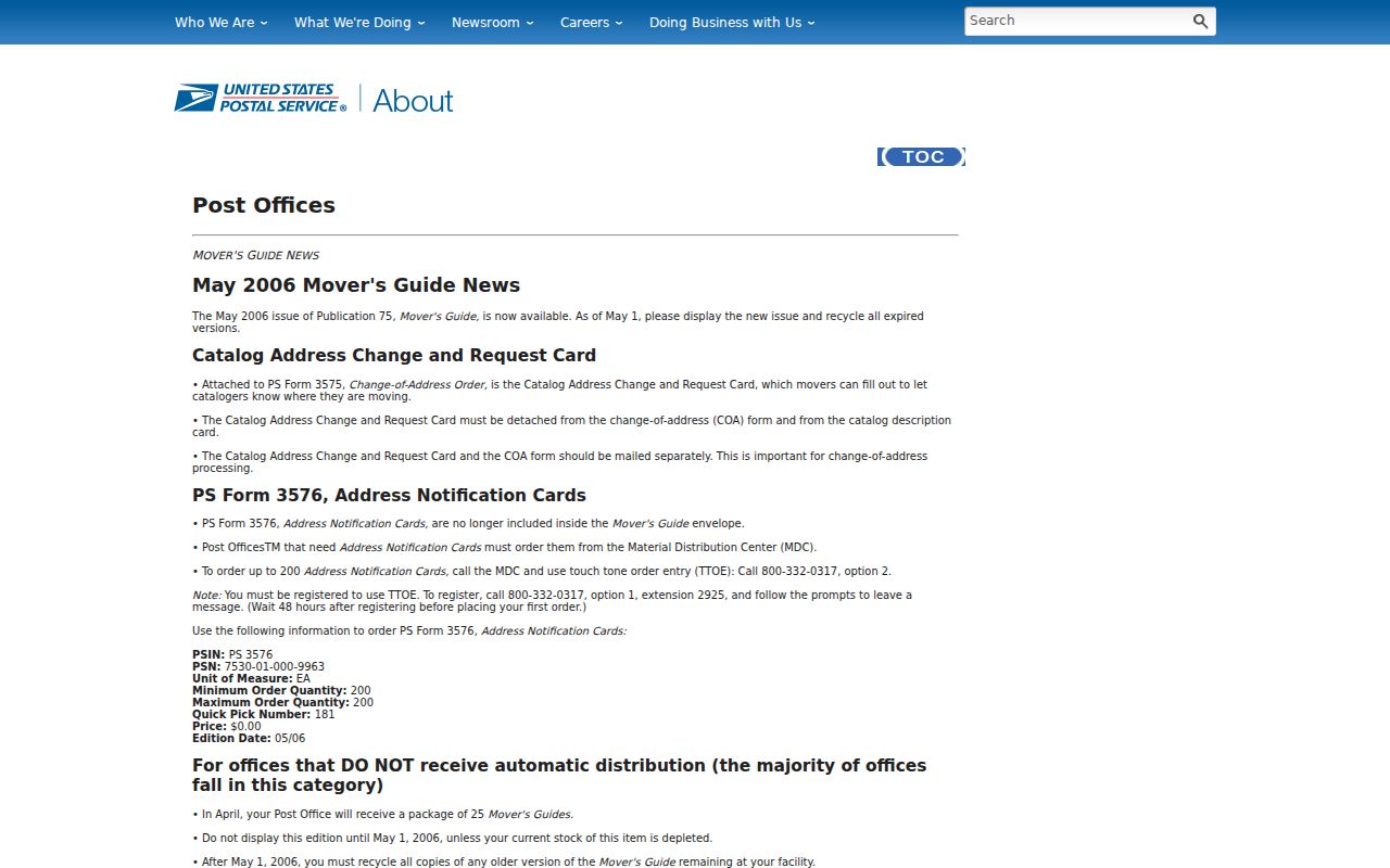
The USPS 97086 realignment notice records the change that shaped the present Happy Valley ZIP code directory.
For research, retain the delivery label shown on the original record and compare it with the street address, parcel, and date instead of translating it to a modern label too soon.
Happy Valley ZIP Labels and City Limits
Neither 97086 nor 97015 is a shortcut for the City boundary. A property may carry a Happy Valley mailing label while its parcel jurisdiction requires a separate check, and a City-addressed location may use 97015. The appropriate sequence is delivery label first, then municipal or parcel jurisdiction. CMap provides parcel, tax-map, district, service, and boundary context, but the County says its map boundaries are not survey quality. City Planning can address City development or addressing questions, while the Recorder relies on the legal description.
That distinction matters when a permit, recording, or assessment record is being sought. City permit workflow, County tax information, and the postal line of an address serve different purposes. A ZIP code is an efficient label for beginning a search, not proof of location inside the City.
Validate a Happy Valley ZIP Address
USPS ZIP Lookup is the right live tool for confirming the delivery ZIP for one street address. The research did not capture a universal results screen because the lookup requires a target address, so no fixed USPS field list should be assumed here. For an old document, preserve its recorded street wording and label. Pre-1965 historical work may also need the area’s earlier names, including Deardorff Valley, Happy Hollow, Christilla Valley, or East Mount Scott, before a parcel or City record can be connected.
The address hierarchy then separates three different references. A situs address is the physical land or building location used for GIS, permit, and tax context. A mailing or tax-statement address is where notices are sent and may differ from the situs. A legal description identifies land for recording, such as a subdivision and lot or block, metes and bounds, or an incorporated instrument reference. A mismatch can be normal, so record the type of address before drawing a conclusion.
- ZIP and ZIP+4
- A ZIP is the main postal routing label. ZIP+4 adds a more specific delivery segment and does not establish a municipal boundary.
- PO-box ZIP
- A postal designation used for post-office-box delivery. No Happy Valley PO-box-only ZIP was verified in the research.
- Unique ZIP
- A ZIP assigned to one organization or large delivery destination. No local unique ZIP was verified in the research.
- Carrier route
- A mail-delivery sequence used by USPS. It is not a public resident list or a parcel-jurisdiction record.
AscendWeb Narrows a Happy Valley ZIP
AscendWeb Property Search is address first. It accepts an 8-digit account or map account, or a required street address, with optional city, state or province, and Zip/Postal Code fields. The optional ZIP field only narrows an address query. It does not create a ZIP-wide property roll, and the County does not publish owner names through the online tool. When an owner-of-record question remains, use the authorized Assessment & Taxation or Recording route.
The AscendWeb search screen shows the address-based entry point used for a Happy Valley ZIP code search.
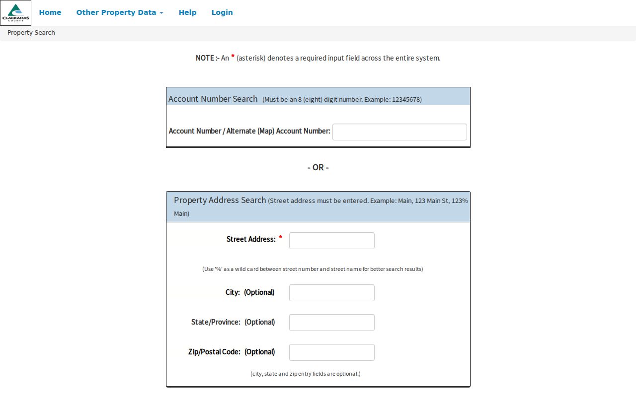
The optional ZIP field is useful after the street address is known. It cannot replace the address or disclose a complete set of people connected to that label.
| Portal | ZIP handling | What the route returns |
|---|---|---|
| AscendWeb | Optional Zip/Postal Code with required Street Address | An address-narrowing property lookup, not a ZIP-wide list and not online owner-name search. |
| CMap | No verified ZIP filter | Address, city, intersection, tax lot, or parcel mapping context. |
| Clackamas voter-list order | ZIP is an available request filter | A restricted voter-file output under the form, fee, and statutory limits. |
| USPS ZIP Lookup | Direct street-address validation | The delivery ZIP for the specific address; no generic result screen was captured. |
CMap Does Not Filter a Happy Valley ZIP
CMap searches by address, city, intersection, tax lot, or parcel number. It can return mapped property context such as building characteristics, values, districts, public services, hazards, surveys, and tax maps. It has no verified ZIP filter and no public online owner-name display. Use it to test parcel location, street context, and jurisdiction after a postal label is known, not to browse a ZIP for residents.
When a narrower street-level question remains after a parcel is found, the Happy Valley by-street directory follows the address and recording trail in more detail.
Note: CMap’s displayed boundaries are useful map context, but Clackamas County does not present them as survey-quality proof of a City limit.
Happy Valley ZIP Voter-File Limits
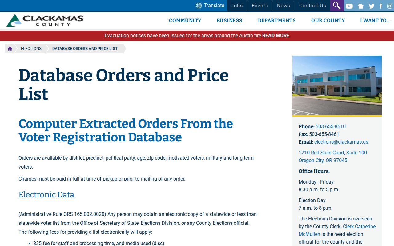
Clackamas Elections offers a formal data-request route where ZIP code is one available filter, alongside district, precinct, political party, age, motivated voters, military voters, long-term voters, and selected vote-history dates. A less-than-statewide request needs the County’s Data Request Form. The County publishes a $25 staff, processing, and media fee plus $0.025 per 100 voters, capped at $500. Phone numbers are not available. The form, fee, delivery, protection, and statutory noncommercial-use rules are part of the route, not optional extras.
The County’s voter-list price list and request route identifies the verified filters and the order requirements.
Protected voters and nonpublic fields remain excluded. Vote history does not reveal how anyone voted, and the request process should never be used to identify protected people.
Use a Happy Valley ZIP for Records
A ZIP code directory can narrow a records question, but the follow-up must match the custodian. This sequence moves from a postal label to a verified address or permissible file without promising a ZIP-wide resident search.
- Enter the exact street address in USPS ZIP Lookup and retain the returned delivery label with the date checked.
- Use the street address in AscendWeb, adding the optional ZIP only to narrow that address query, then record the account or map context.
- Use CMap’s address, city, tax-lot, or parcel route to check mapped parcel and jurisdiction context, keeping its non-survey limitation in mind.
- For a legally permitted voter-file need, use the Clackamas form and request only the ZIP-filtered output the law allows; otherwise ask the appropriate property, recording, permit, or City custodian for a defined record.
City Municipal Court and HVWorks are known-record workflows, not ZIP search portals. A ZIP label does not make their records searchable by everyone who receives mail nearby.
Happy Valley ZIP Directory Jurisdiction
Address authority is divided by function. USPS controls the delivery label. CMap and the Surveyor provide parcel and tax-map context. Assessment & Taxation controls property information, the Recording Division relies on legal descriptions, and City Planning or Engineering handles City development workflows. No single Happy Valley E911 addressing authority or Citywide readdressing project was verified in the research. Where an address and parcel do not align cleanly, verify the address with USPS, the jurisdiction with CMap or the City boundary source, and the land description with Recording.
The central local lesson is simple: 97086 is the City-stated primary ZIP, while 97015 still appears in City sources. Neither label decides City limits. A careful search keeps the delivery label, parcel jurisdiction, and record type separate from the first click onward.